Customise your GPX track, from the line to the background.
Your outing was like no other, and its poster should not be either. In Adret everything can be changed: the colours, what the map shows, the relief, the title and the stats, and every change is kept as you make it. Free, no account, no watermark.


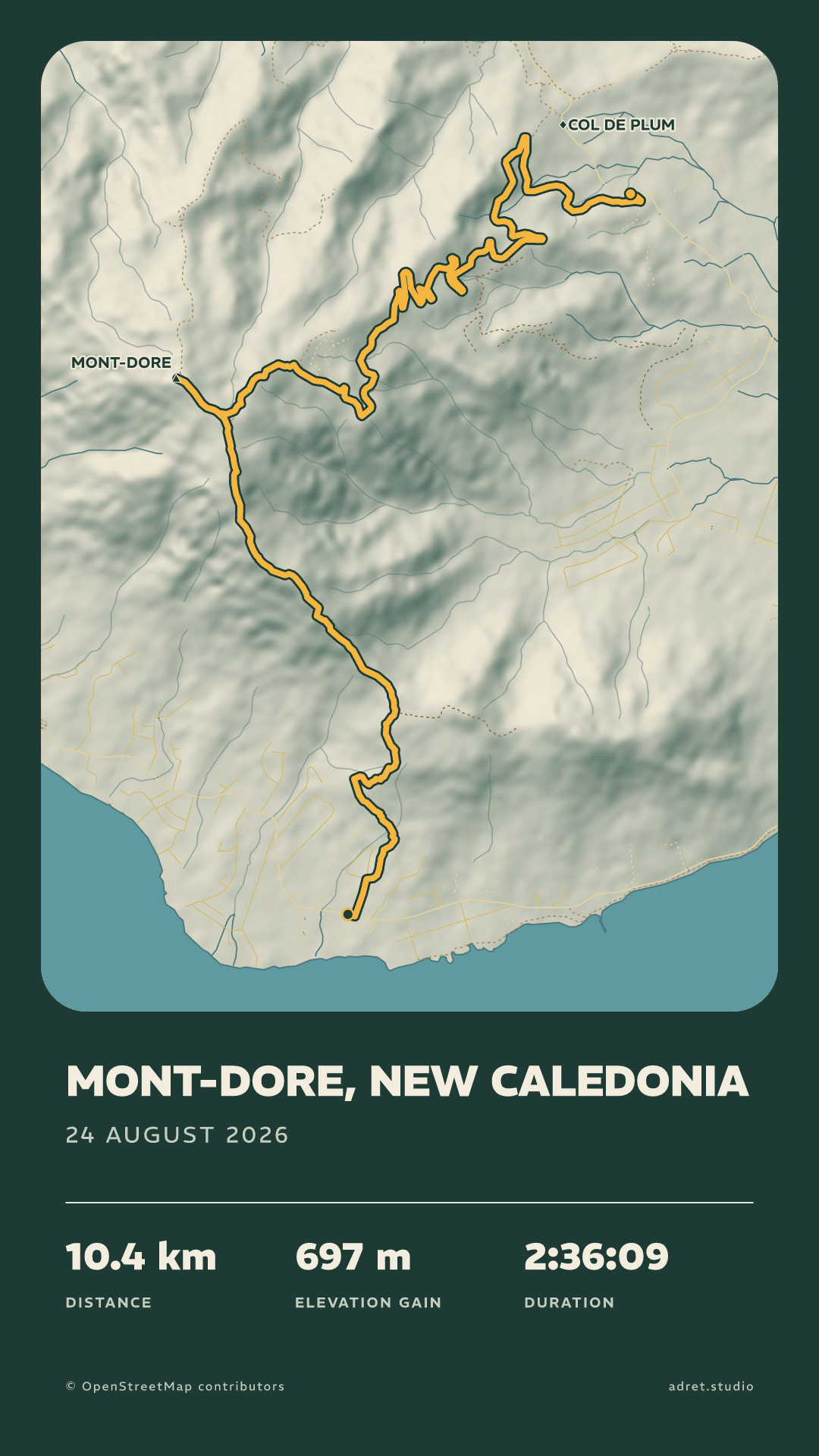
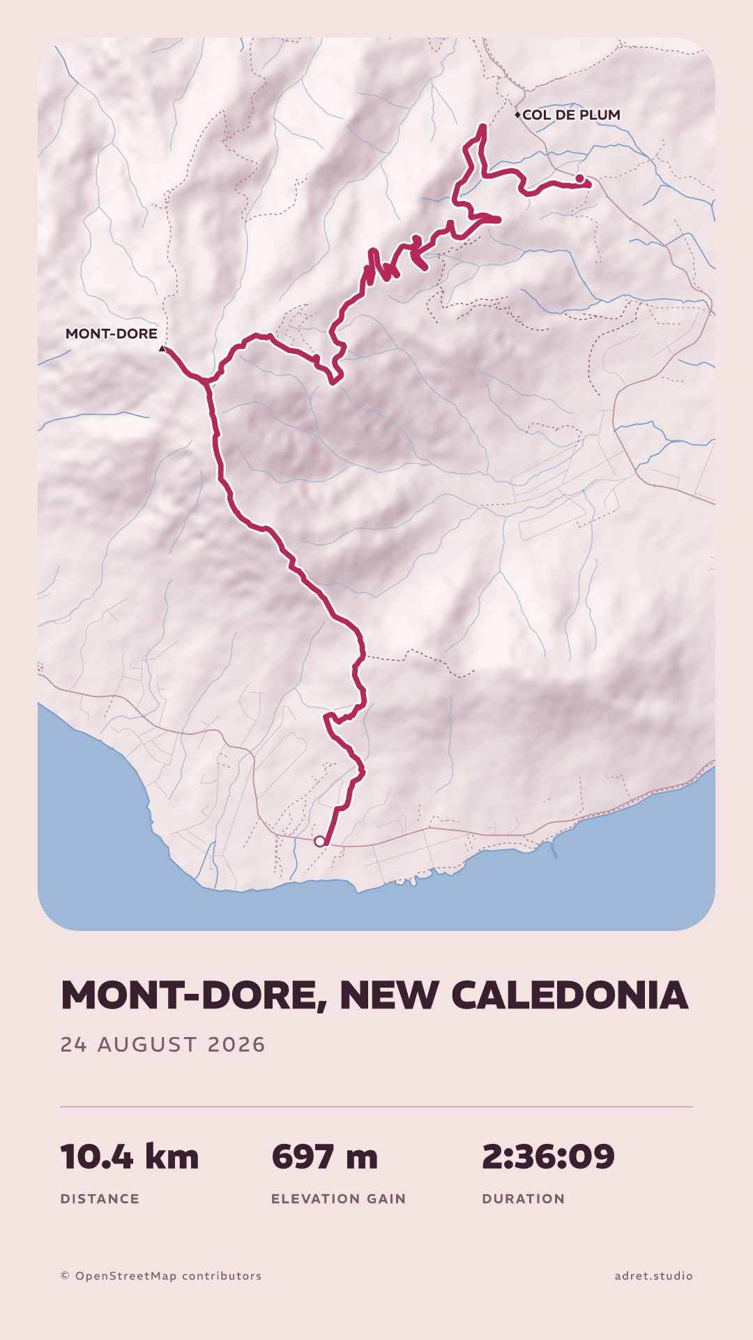
Three steps.
- 01
Import the track
A GPX, a FIT or a TCX, from any app: the guide says where each one keeps it. In the app, Strava imports directly too, and Apple Health on an iPhone or an iPad.
- 02
Pick a style
Adret, Classic, Vintage, Transparent, or Neon with Adret Pro: a style sets the tone of the whole poster, and everything it sets can be changed afterwards. See all five.
- 03
Change the rest
Four tabs, Styles, Page, Map and Terrain, and the poster itself: tap the title or the stats and the panel that sets them opens. Nothing to save: every change is kept, and Undo takes the last one back.
What you can change.
Contents
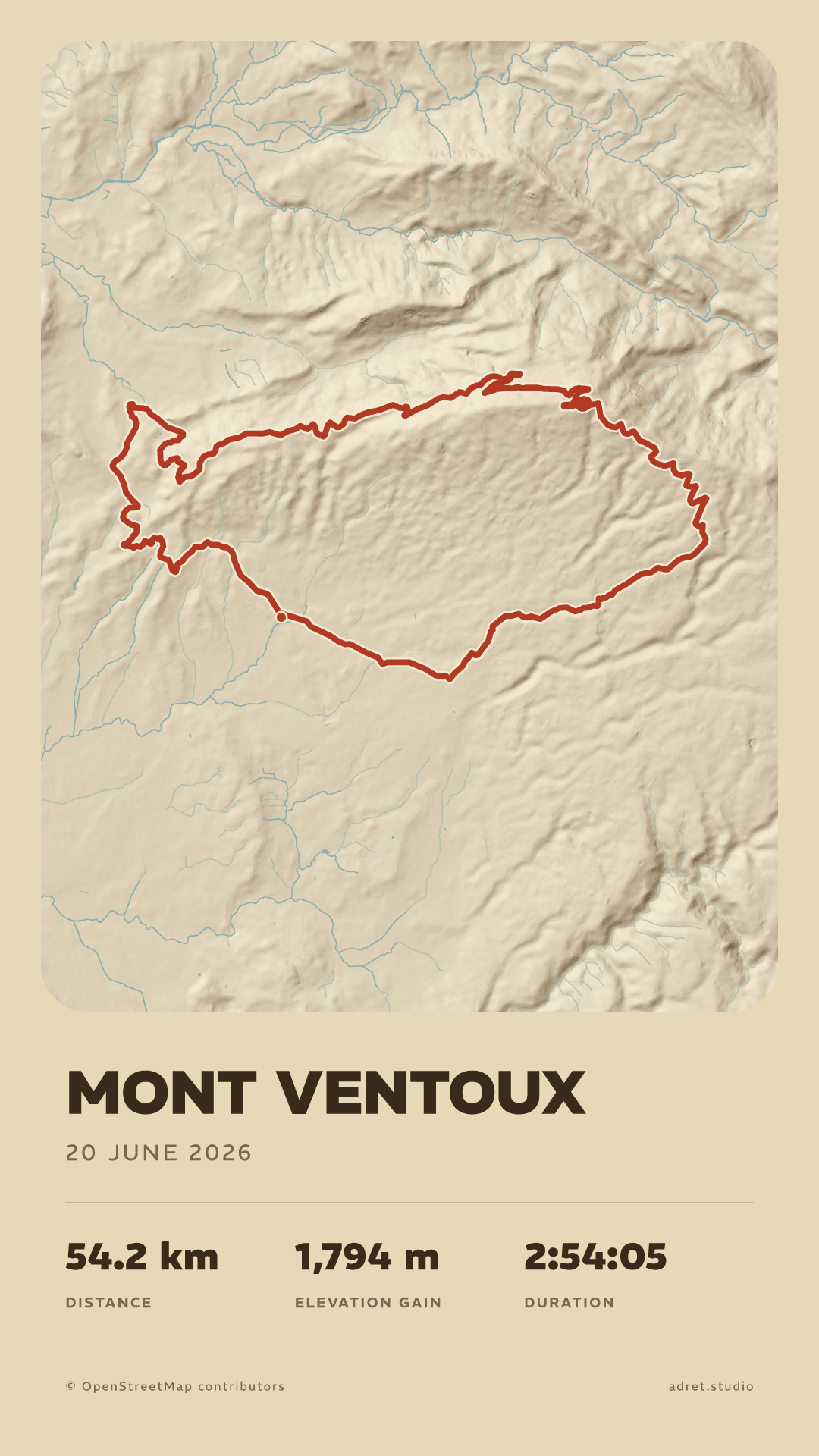
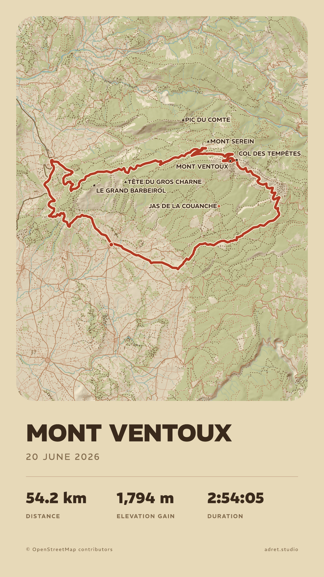
What the map draws, layer by layer.
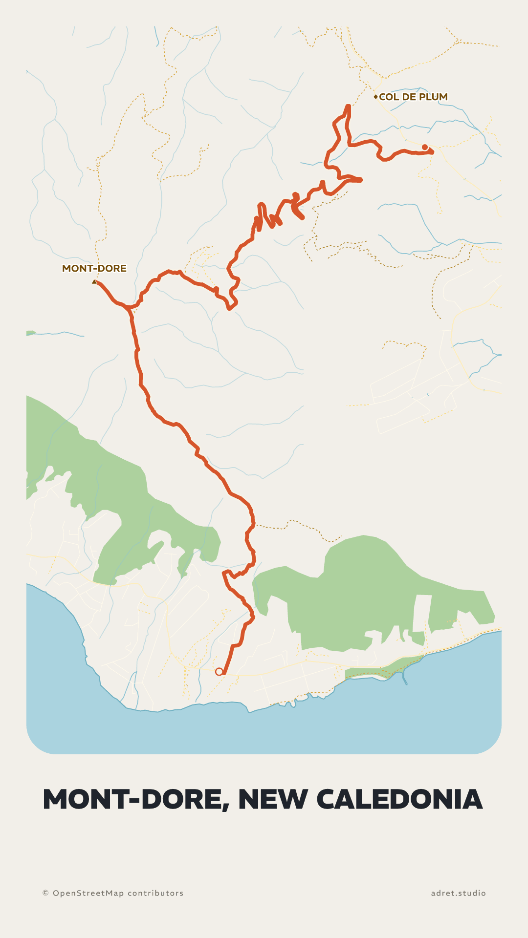
Mountain, city or both, then each layer on or off: woods, roads, paths, summits and place names, down to the relief, the water and your line alone. A sheet full of names or a bare one, as the outing asks.
Text
Your title, your stats.
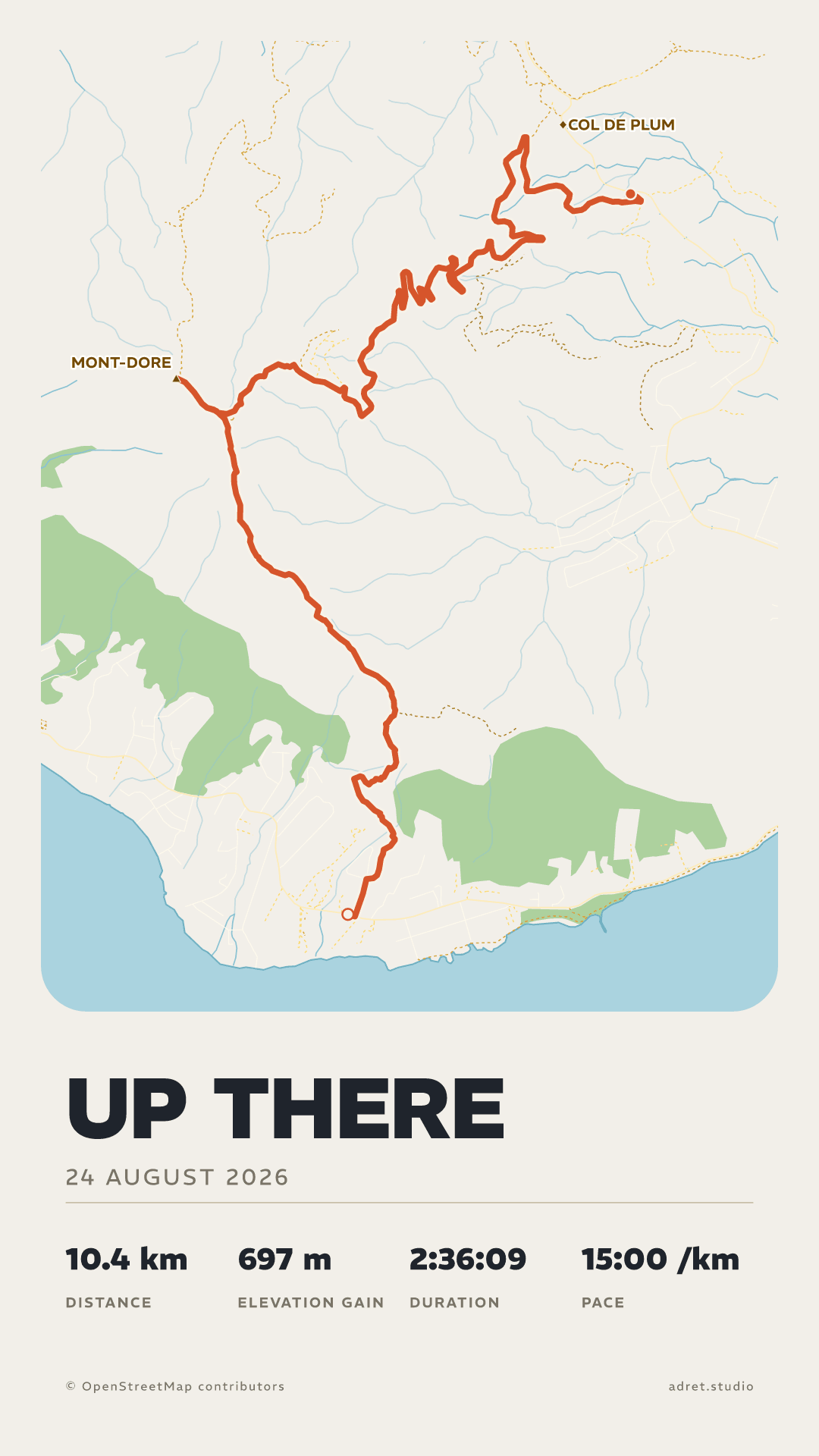
The title, its size and its capitals, the date, and up to four stats out of six: distance, climb, moving time, total time, pace and average speed. The moving time leaves the stops out, as Strava does, and the poster shows only what you choose.
SunPro
With Adret Pro, move the sun.
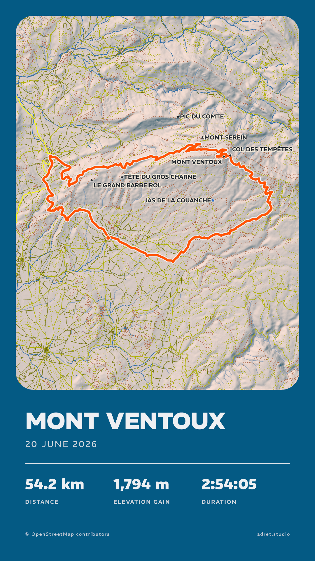
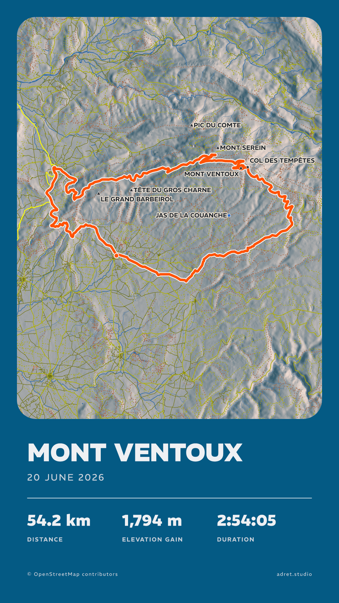
Light the relief from where you like: eight bearings, three heights. Adret Pro also brings every typeface, the layouts and the elevation profile, and keeps your style for the next outing: what Adret Pro adds.
Fair questions.
- Tap the title on the poster itself, and the panel opens ready to type.
- Or go to Page, then Title.
- The stats: under Page, then Details. There are six to choose from (distance, climb, moving time, total time, pace and average speed) and the poster carries up to four, plus the date under the title, each one on or off as you like; tapping the stats on the poster opens the same panel. The duration on the poster is the moving time: the stops are taken out, as Strava does, and the total time keeps them in for when you would rather show the whole day. Pace and average speed are both worked out over the moving time, one for a run and the other for a ride.
- The elevation profile, the route seen from the side under the map: under Terrain, and turning it on is part of Adret Pro.
- On one poster: under Map, then Trace, switch on “Hide the start”, “Hide the end”, or both. The line is taken off the map within 200 m of where you set off and where you arrived.
- On every new poster: in My account, switch on “Start and end hidden”, and each recording you import is drawn that way. You can still change it poster by poster.
Yours won’t look like anyone else’s.
Adret is on iPhone, iPad and Android. Free to try, no account, no watermark.