Your GPX as an image, drawn like a poster.
A GPX is a list of points. Adret turns it into a picture you will want to show: the map drawn for your route, the relief lit by a sun, your title and your stats. On your phone, or in a computer’s browser: free, no account, no watermark.


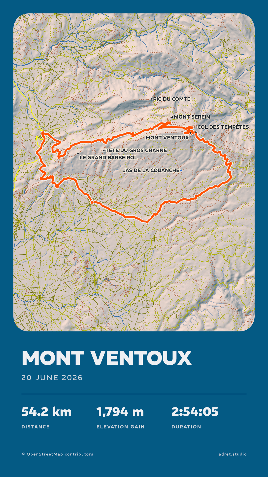
Three steps.
- 01
Get the GPX
Your watch, head unit or app exports it, as a GPX, FIT or TCX. The guide says where to find it, app by app, from Strava to Garmin.
- 02
Open it in Adret
On a phone, tap + and choose “Import a GPX, FIT or TCX”. On a computer, “Open in your browser”, beside the download buttons, opens Adret where the file already is: drop it on the page, and the poster draws itself.
- 03
Share the image
Pick a style, change whatever you like, then share it or save it: a PNG, as a story or a post, ready for Instagram or a message. With Adret Pro, a file to print as well.
What your GPX becomes.
The drawing
Not a screenshot: a map drawn for your route.
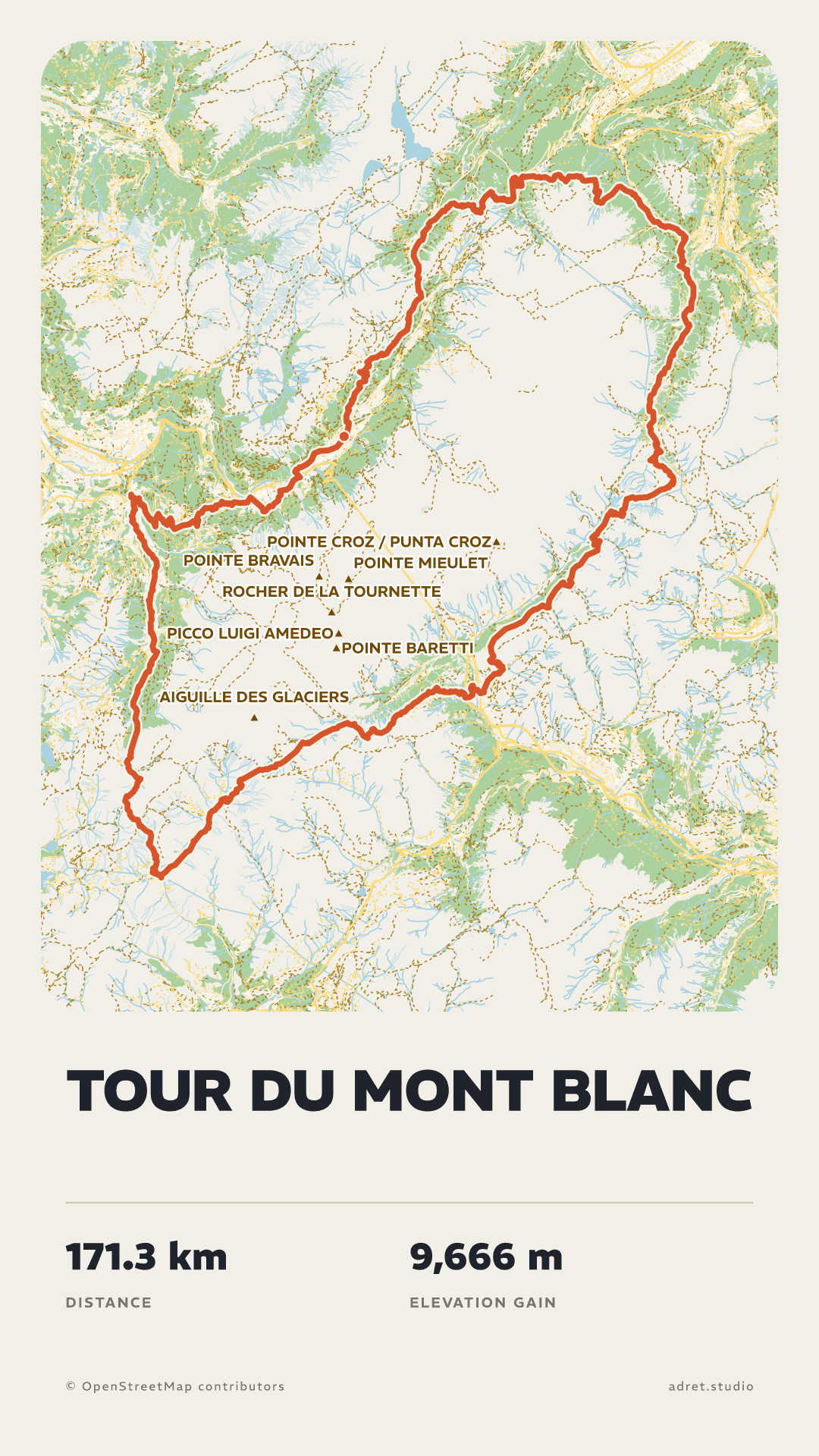
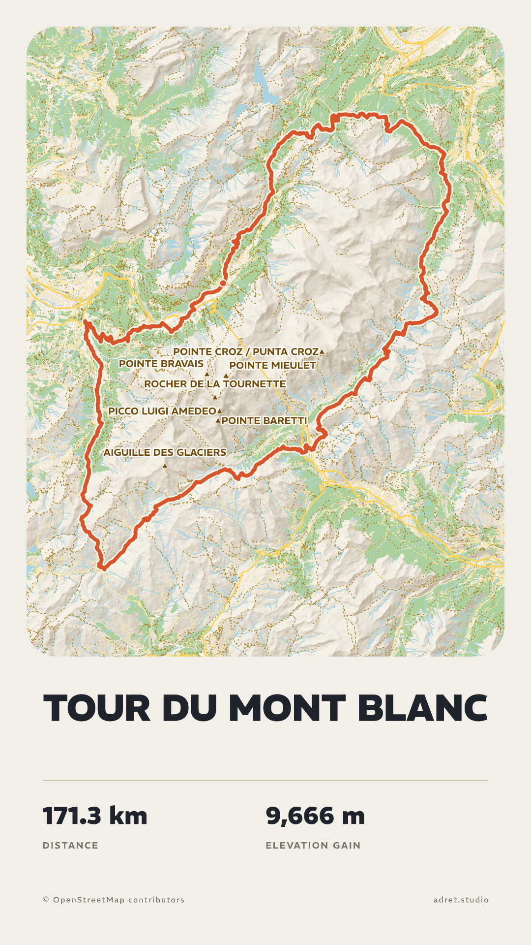
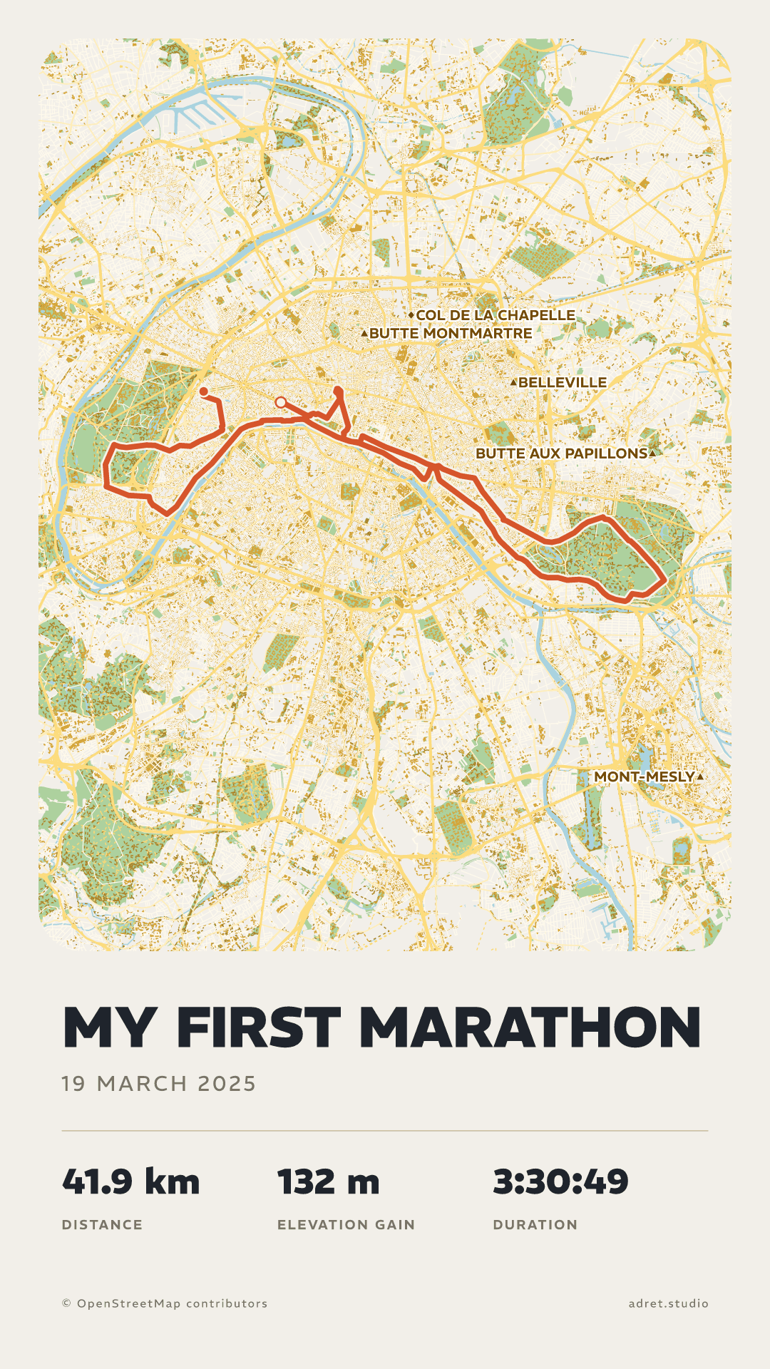
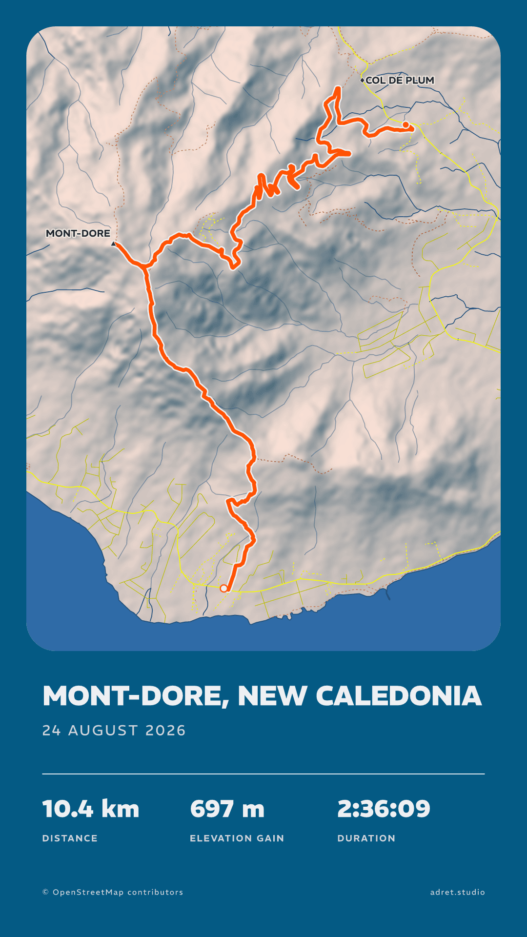
Adret does not lay your track over a ready-made map. It draws the map for it, from OpenStreetMap’s raw data and the terrain: mountains take on volume under a sun, summits and cols carry their names, streets fall into place. Shaded or flat, as you prefer.
The styles
Five styles, one track.
Adret, Classic, Transparent and Vintage are free; Neon is part of Adret Pro. Each one changes the whole picture, from the sheet to the line, and each can then be adjusted to your taste: see all five.
The format
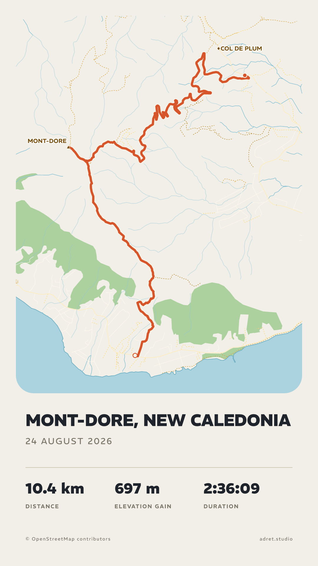
A story, or a post.
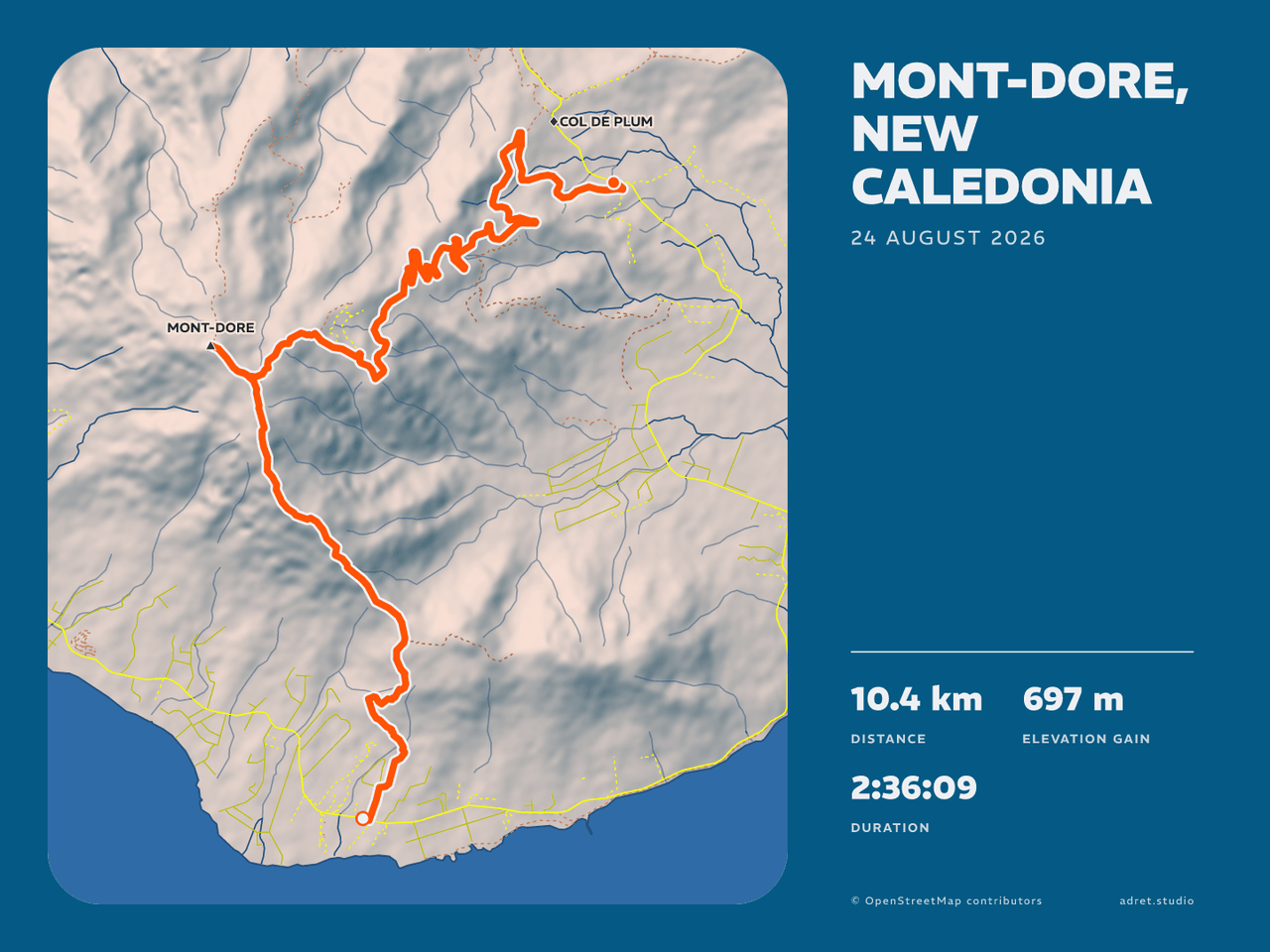
A story at 1080×1920, or a post at 1080×1440, portrait or landscape. The image comes out as a PNG with no watermark, and its background can even be transparent. For the wall, Adret Pro adds two print formats at 300 dpi.
Fair questions.
Bring a track, leave with a poster.
Adret is on iPhone, iPad and Android. Free to try, no account, no watermark.