A cycling route poster, drawn from your own ride.
The col you had on a list, or the loop you ride every Sunday. Adret draws its map from the recording your head unit already made: the relief lit by a sun, the summits and the cols by name, your distance, your climb and your average speed under your own title. You make it yourself, on your phone or in a browser, and it is free to try, with no account and no watermark. Adret does not print or deliver anything itself: for the wall, Adret Pro makes the file to print.


Three steps.
- 01
Get the ride’s recording
Your Garmin, your Wahoo or your watch recorded it, and your sports app has it too. Adret reads the GPX, FIT or TCX file any of them exports, and on a phone it can take the activity straight from Strava. The guide says where the file is, app by app.
- 02
Open it in Adret
On a phone, tap + and choose “Import a GPX, FIT or TCX”. On a computer, “Open in your browser”, beside the download buttons, opens Adret where the file already is: drop it on the page, and the poster draws itself.
- 03
Share your cycling poster
Pick a style, write your title, keep the stats that matter, then share it: a story or a post, a PNG with no watermark, ready for Instagram or the group you ride with.
Your ride, on a poster.
The map
The climb in relief, the summit by name.
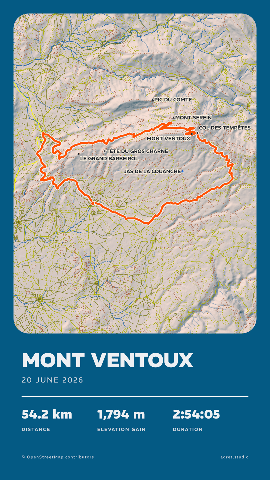
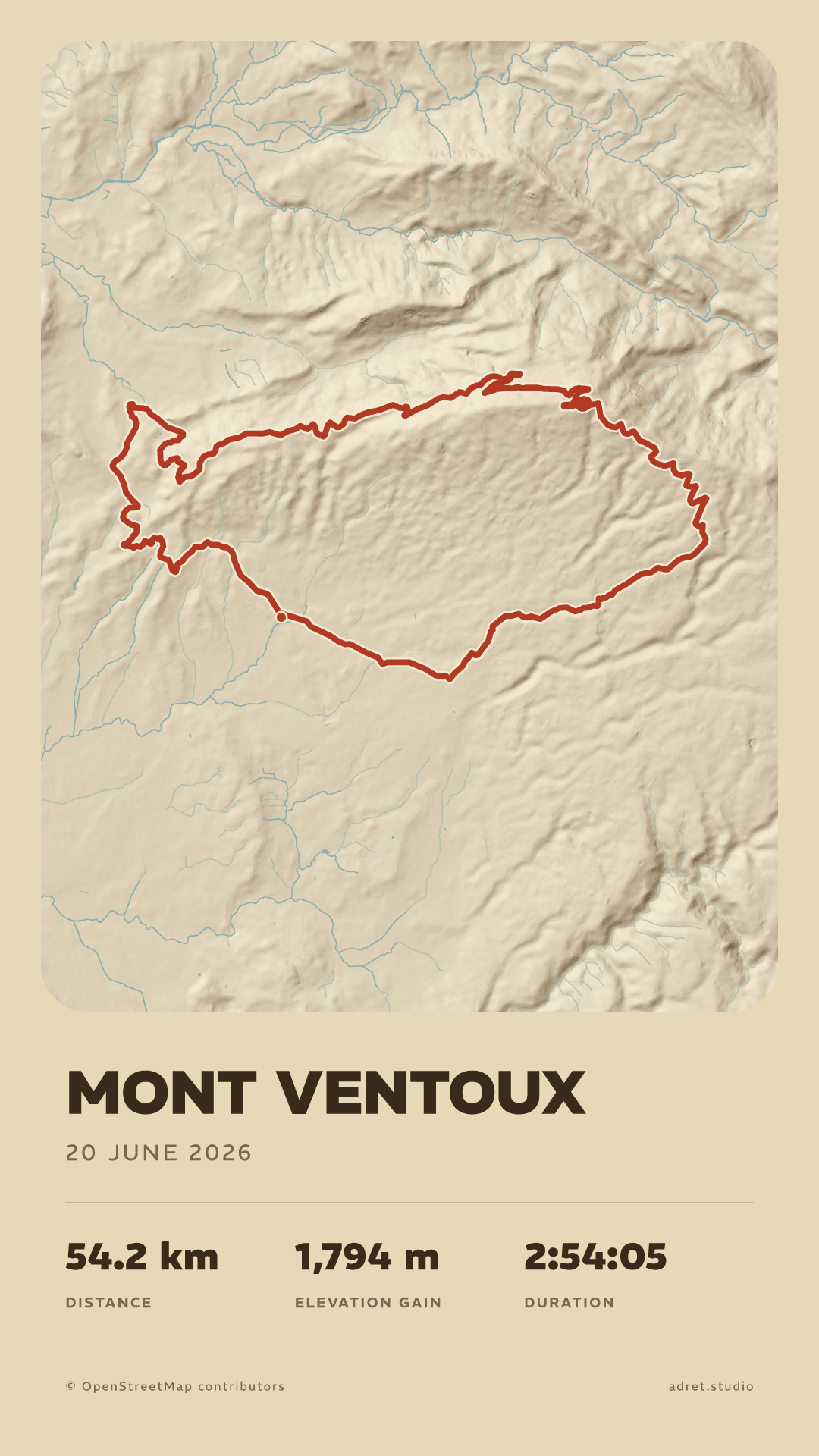
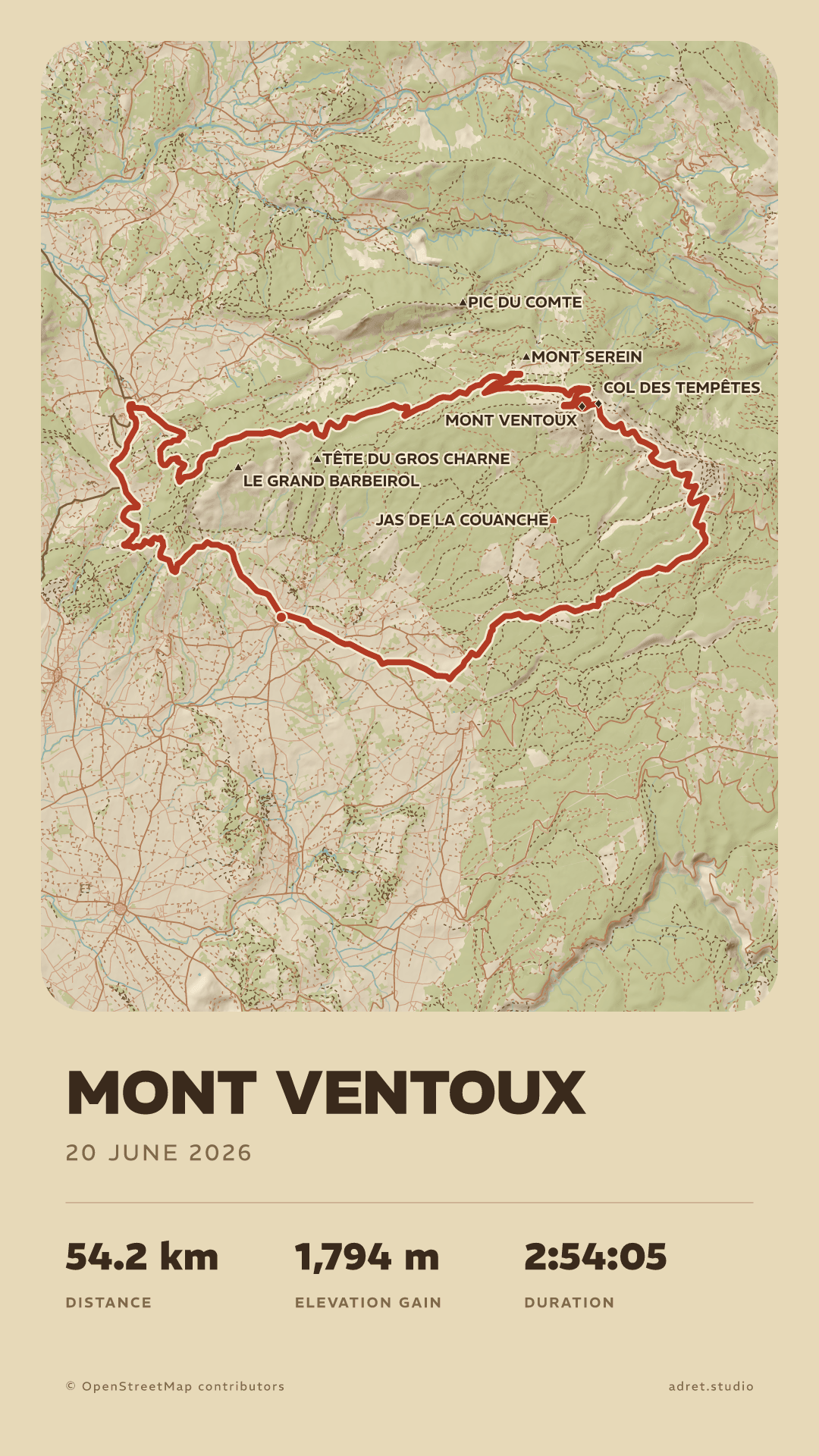
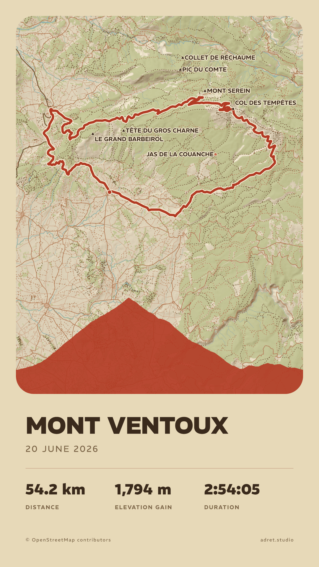
Adret does not lay your ride over a ready-made map. It draws one for it, from OpenStreetMap’s raw data and the terrain: the massif takes on volume under a sun, and the roads, the woods, the summits and the cols fall into place, the last two by name. Every layer is yours to keep or to take away, down to the relief and the route alone.
Your stats
Distance, climb, time, average speed.
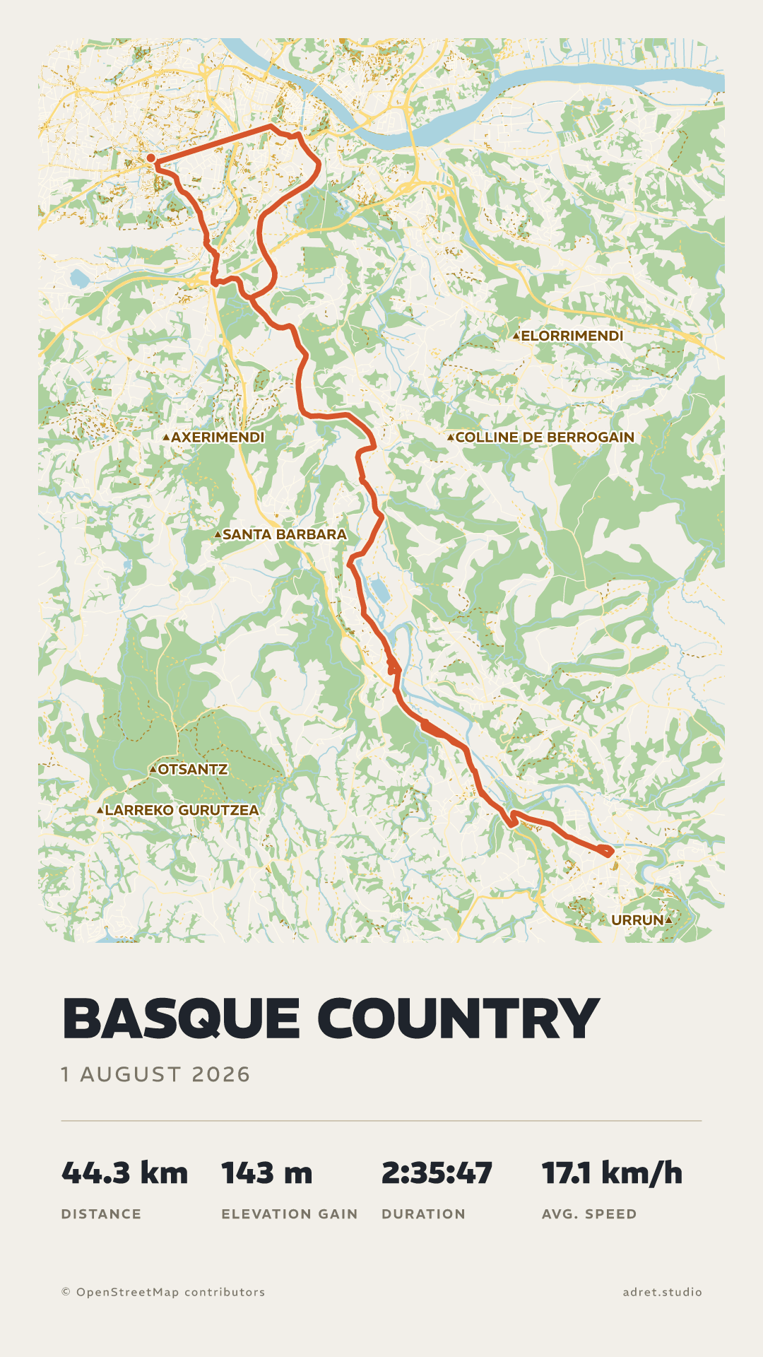
Up to four stats stand under the title, and you choose them: for a ride, the distance, the climb, the moving time and the average speed, worked out with the stops taken out. From Strava or a FIT file, the climb is the one Strava or your head unit counted. The title is yours too: the name of the col, or whatever you called the day.
The profilePro
The climb, seen from the side.
With Adret Pro, the route’s elevation stands at the foot of the map as one silhouette: on Mont Ventoux a single pyramid, and anyone who has ridden it knows it on sight. Adret Pro also draws the long days, the rides that cover more ground than a phone can draw, and makes the file to print for the wall. A trip of several days has a page of its own.
Fair questions.
- The stats: under Page, then Details. There are six to choose from (distance, climb, moving time, total time, pace and average speed) and the poster carries up to four, plus the date under the title, each one on or off as you like; tapping the stats on the poster opens the same panel. The duration on the poster is the moving time: the stops are taken out, as Strava does, and the total time keeps them in for when you would rather show the whole day. Pace and average speed are both worked out over the moving time, one for a run and the other for a ride.
- The elevation profile, the route seen from the side under the map: under Terrain, and turning it on is part of Adret Pro.
- A3 has the shape of every A size: it prints just as well at A4 or A2, and fits a 50×70 cm frame.
- 30×40 cm is 3:4, and prints at 60×80 cm as well.
That ride deserves better than a screenshot.
Adret is on iPhone, iPad and Android, in your browser, and in Claude or ChatGPT with Adret Pro. Free to try, no account, no watermark.