A running route poster, drawn from your own run.
The loop on a Tuesday after work, or the long run on Sunday morning. Adret draws its map from the recording your watch already made: the streets you ran, the parks and the water you ran beside, with your distance, your time and your pace under the title you write, at a story’s shape. You make it yourself, on your phone or in a browser, and it is free to try, with no account and no watermark. Adret does not print or deliver anything itself: for the wall, Adret Pro makes the file to print.


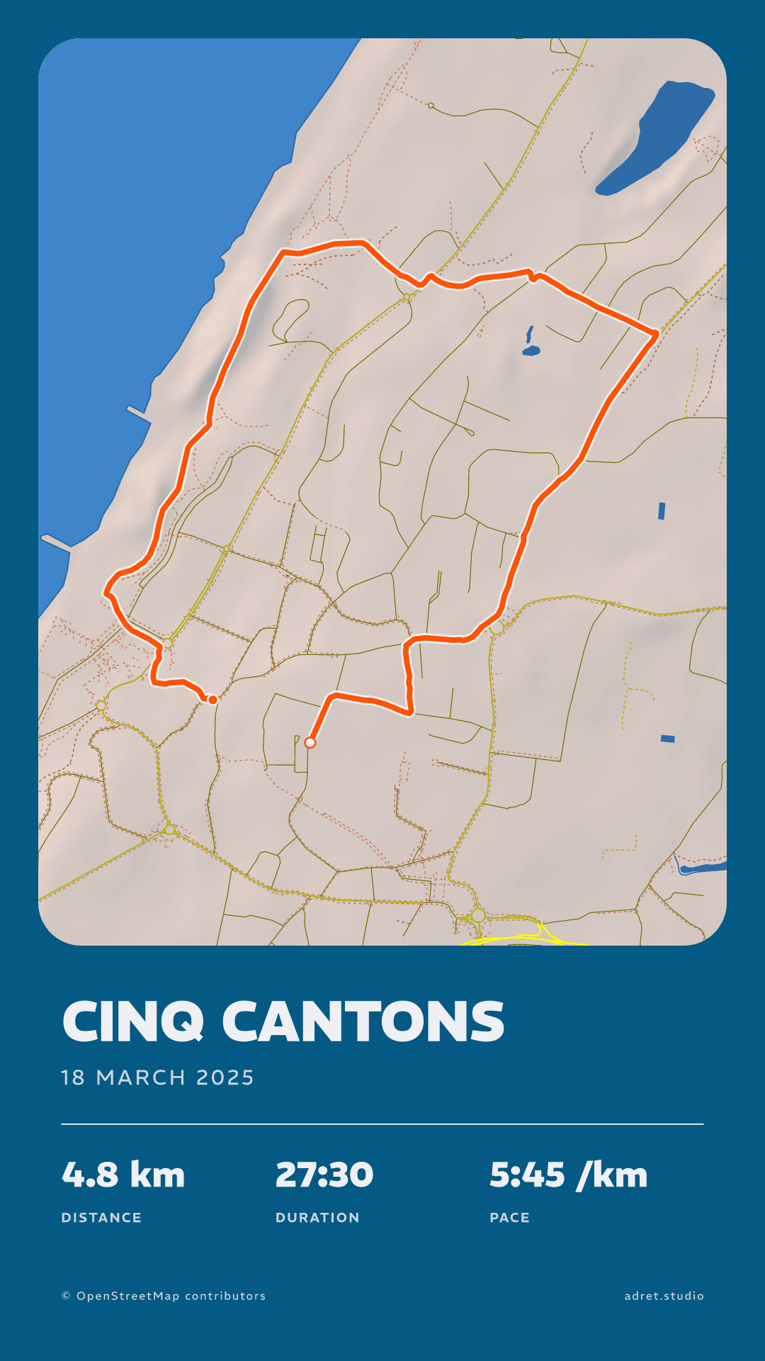
Three steps.
- 01
Get the run’s recording
Your watch recorded the run, or the phone on your arm did, and your sports app has it too. Adret reads the GPX, FIT or TCX file any of them exports; on a phone it can take the activity straight from Strava, or the workout from Apple Health on an iPhone. The guide says where the file is, app by app.
- 02
Switch on your pace
Open the recording in Adret and pick a style. A new poster shows the distance, the climb and the time: tap the stats to put your pace in place of the climb, and tap the title to write your own words. If the run starts at your front door, hide the start and the end, under Map, then Trace: the line stops short of both.
- 03
Share your running poster
As a story or a post, a PNG with no watermark, ready for Instagram or for the group you run with. An everyday run is well within what a phone draws itself, and that is what free covers.
Your run, on a poster.
Your pace
Distance, time, pace, under your own words.
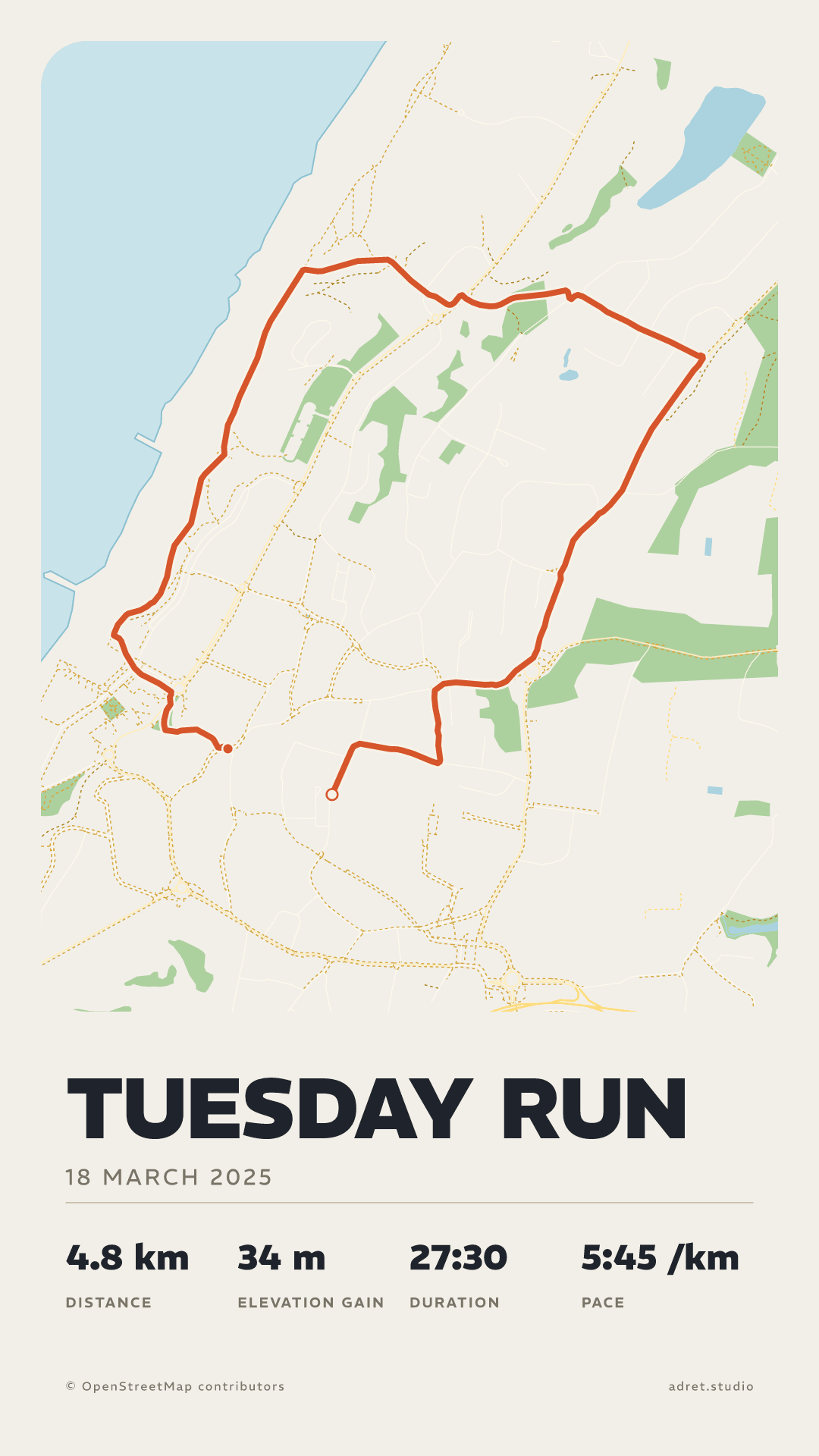
Up to four stats stand under the title, and you choose them. For a run: the distance, the time and the pace, the last two counted over the moving time, with the waits at the lights taken out. The climb can stay beside them, or go. The title is yours to write and to size: here “Tuesday run”, set large.
The styles
One run, four free styles.
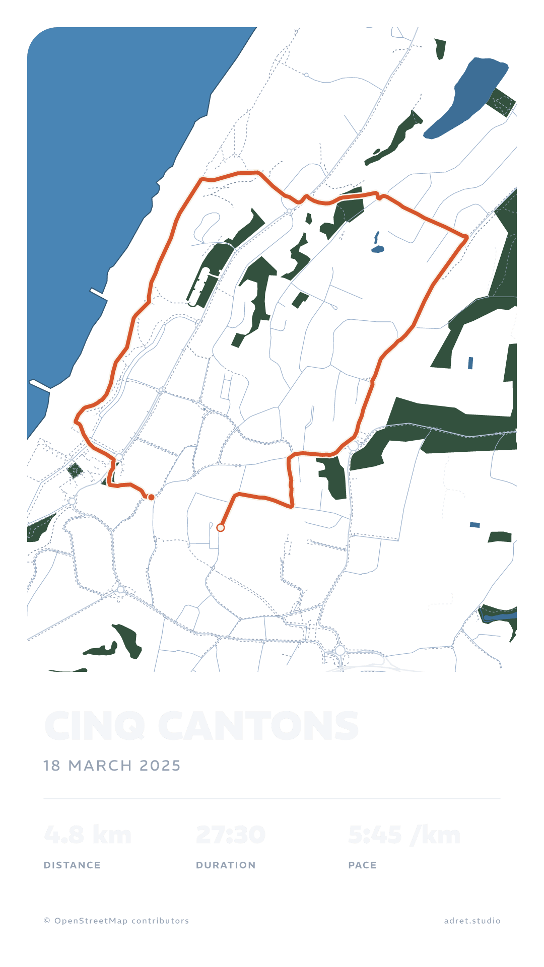
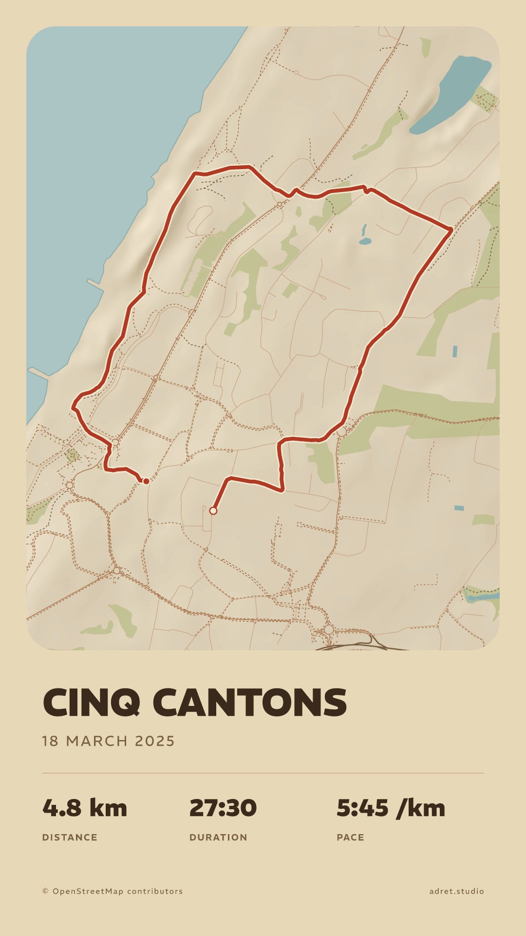
This page shows one evening run in the four styles that are free: Adret, Classic and, here, Transparent and Vintage. With a transparent background, the map, the title and the stats go over the photo you took on the way. The styles page shows all five, and every colour in them is yours to change.
TypefacesPro
For the race you will want to keep.
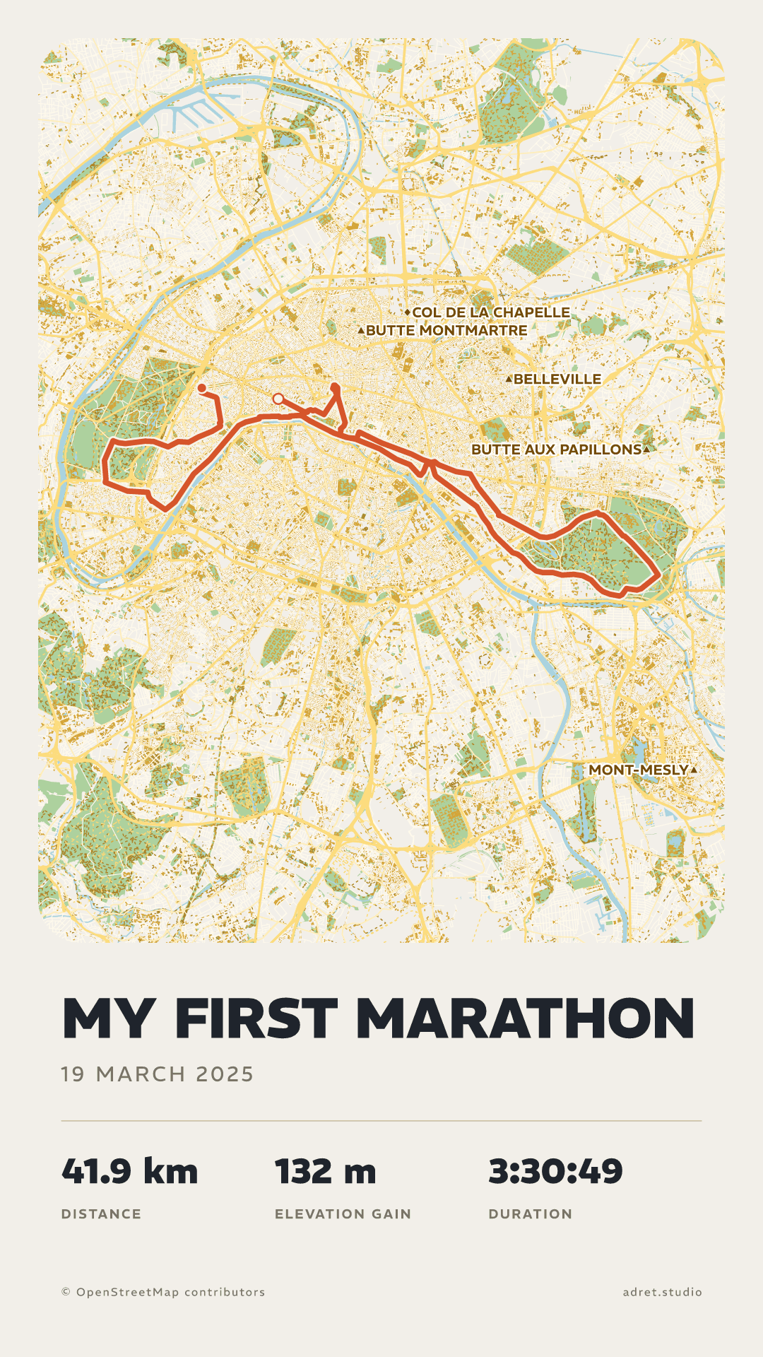
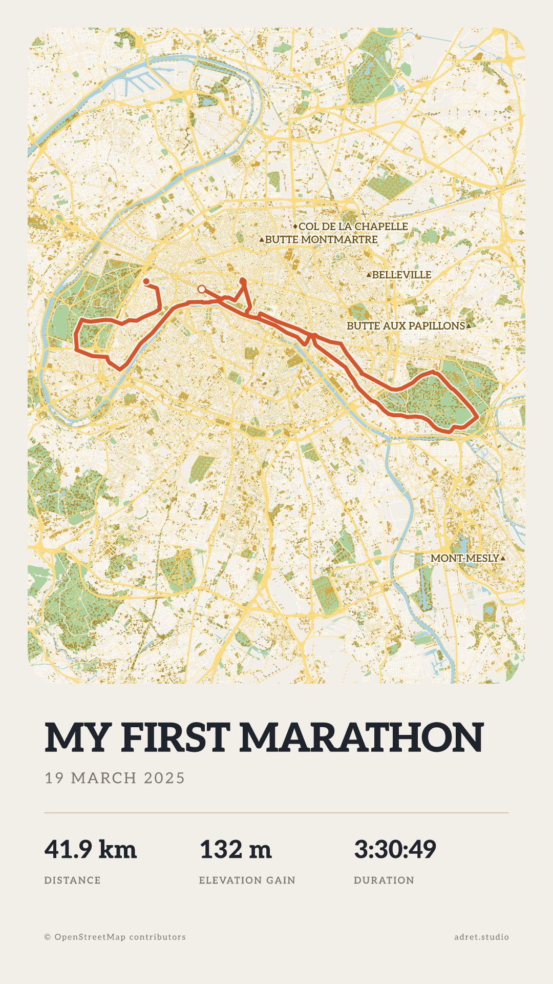
One day the run is a race. Adret Pro opens every typeface and every weight for its title: here a marathon’s poster twice, in the typeface every poster starts in, then in Aleo, a slab serif. Adret Pro also makes the file to print for the wall and the film of the route drawing itself. The marathon has a page of its own.
Fair questions.
- The stats: under Page, then Details. There are six to choose from (distance, climb, moving time, total time, pace and average speed) and the poster carries up to four, plus the date under the title, each one on or off as you like; tapping the stats on the poster opens the same panel. The duration on the poster is the moving time: the stops are taken out, as Strava does, and the total time keeps them in for when you would rather show the whole day. Pace and average speed are both worked out over the moving time, one for a run and the other for a ride.
- The elevation profile, the route seen from the side under the map: under Terrain, and turning it on is part of Adret Pro.
- On one poster: under Map, then Trace, switch on “Hide the start”, “Hide the end”, or both. The line is taken off the map within 200 m of where you set off and where you arrived.
- On every new poster: in My account, switch on “Start and end hidden”, and each recording you import is drawn that way. You can still change it poster by poster.
- In Adret itself: under Page, tap Background, then Photo, and choose it. The poster you share is already laid over it.
- In Instagram, which also works over a video: give the poster a transparent background, export it, and add the PNG to your story as a sticker.
Tonight’s run, as a story.
Adret is on iPhone, iPad and Android, in your browser, and in Claude or ChatGPT with Adret Pro. Free to try, no account, no watermark.